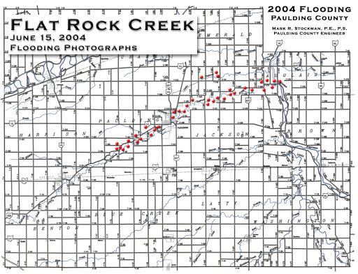
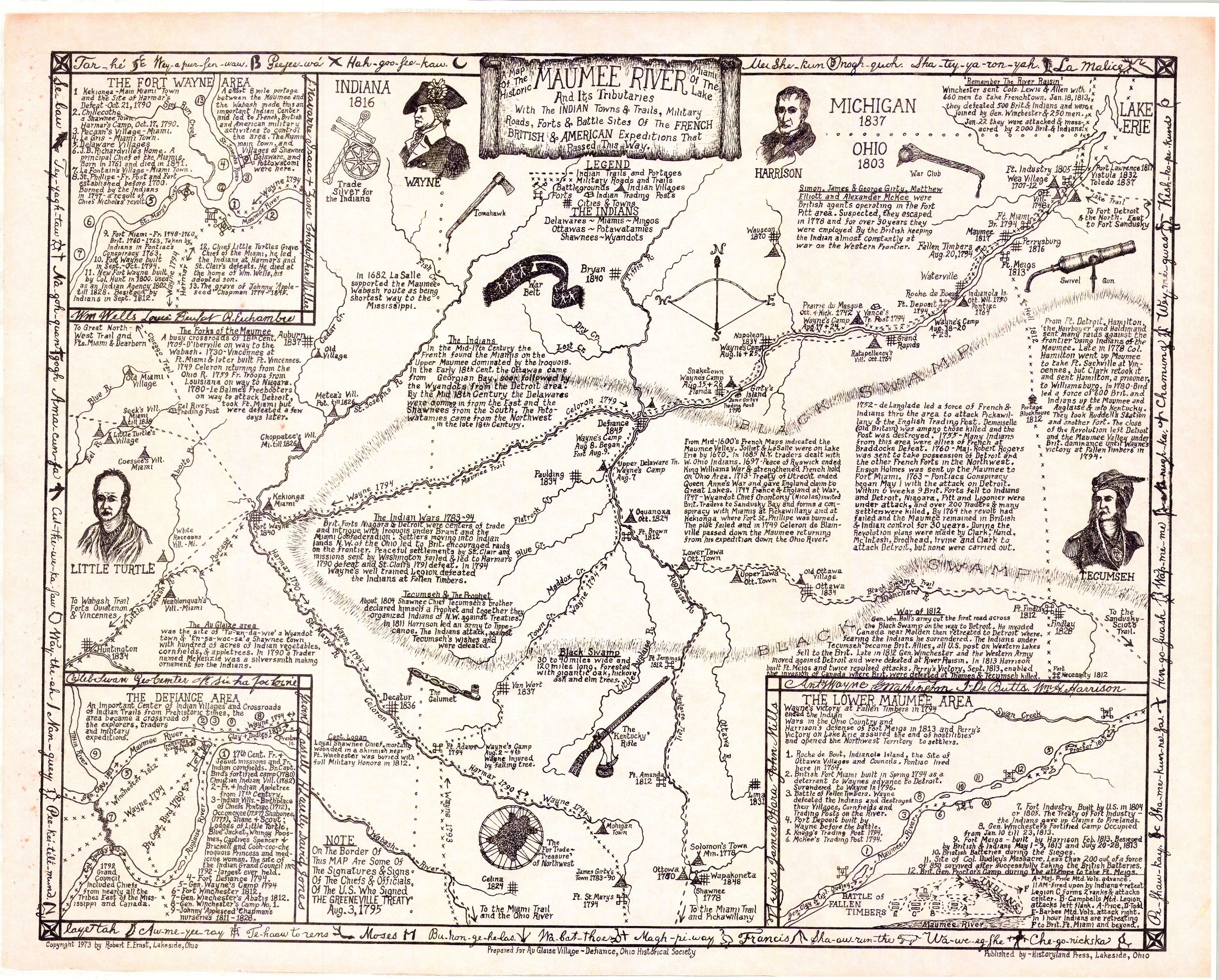
map
Historical Atlas of Paulding County, Ohio (Morrow & Bashore, 1892)
A 94-page historical atlas of Paulding County compiled by Oliver Morrow and Frederick William Bashore, originally published in 1892 — township-by-township plat maps and landowner listings.