Flat Rock Creek 2004 Flooding Photographs (Index Map)
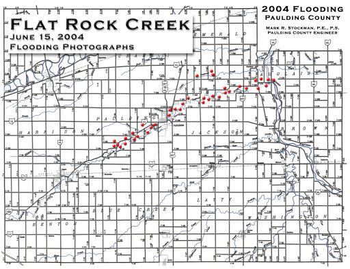
The title/index map for a series of flooding-documentation photographs along Flat Rock Creek, taken June 15, 2004, prepared by County Engineer Mark R. Stockman — the same county engineer credited with the 1996 Forder Bridge historical marker in this archive’s historical markers gazetteer. Red dots trace the creek’s path across Paulding, Emerald, Jackson, and neighboring townships, marking where photographs were taken. The individual photographs themselves are not included here — only this index map.